IJC invites public comment on Phase 1 of the Plan 2014 Expedited Review
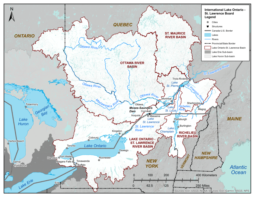
IJC invites public comment on Phase 1 of the Plan 2014 Expedited Review for Lake Ontario and the St. Lawrence River The International Joint Commission
IJC – Seeks Input on Efforts to Help Recreational Boaters – Act Now!
The IJC is doing a survey of boat owners to determine the results of their brief deviation to raise water levels to help boat owners
Final Public Workshop on Resiliency Planning for Shoreline Communities along Lake Ontario and the St. Lawrence River
Residents, property owners, business owners, and all interested parties are encouraged to join a virtual Public Workshop on Tuesday, November 9th, 6:00-7:30 pm. This is
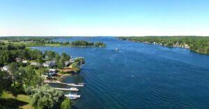
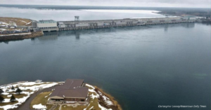
IJC Continues to Assess Water Level Conditions on the St. Lawrence River for Potential Boat Haul Out Assistance
There are approximately 700 marina and boat club slips, and hundreds of private docks located along the shores of Lake St. Lawrence. Recreational boaters who
Save The Date! The Ups and Downs of Great Lakes Water Levels
The Ups and Downs of Great Lakes Water Levels – A talk by Dr. Andrew Gronewold, P.E. Join us on Thursday, September 9th, 2021 at

Lake Ontario-St. Lawrence River Current and Forecast Conditions – Virtual Public Presentation
Here are the latest recordings from virtual public meetings held by the the International Lake Ontario-St. Lawrence River Board June 15: https://vimeo.com/565605954 June 17: https://vimeo.com/564809591 The board